


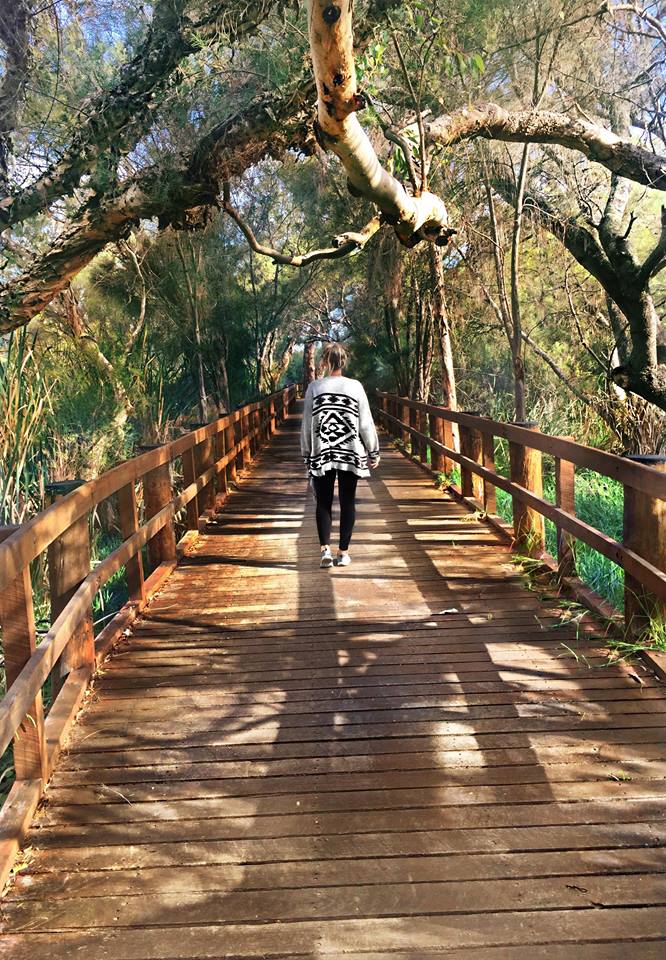
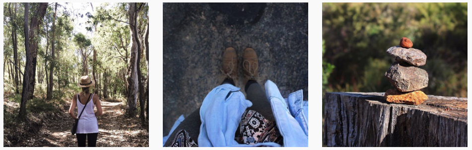
A list of places to hike and explore in Perth and Western Australia.
Let’s walk…
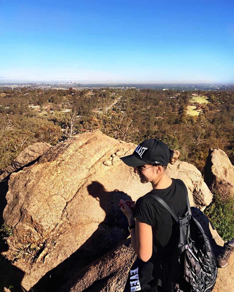
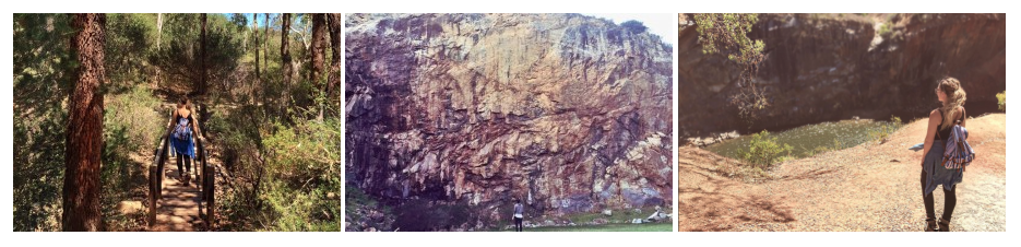
John Forrest National Park
LOCATION: Pechey Road, Swan View, Swan View Tunnel
Trail: Easy To Moderate
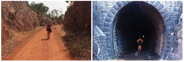
There are multiple tracks at John Forest National Park. If you park at Pechey road you can explore a few trails from here. The Swan View Tunnel is popular one. On the way to the tunnel, there’s a section surrounded by rock before coming out into the open. As you look out you’ll witness views of the city in the distance. Being summer time there was an invasion of mosquitoes. I couldn’t walk through the tunnel otherwise I’d become a feast. If this is the case, you can go back and continue the trail adjacent which goes past the other end of the tunnel.
LOCATION: Alongside the Tunnel Trail
Trail: Easy To Moderate
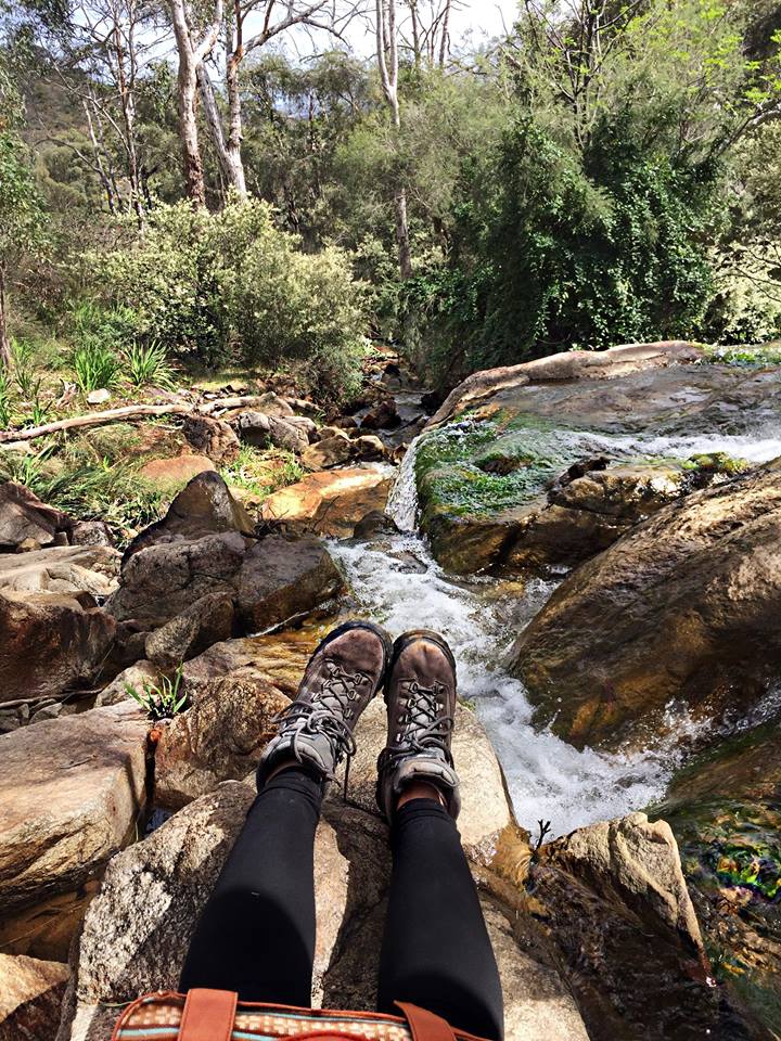
This is an easy hike and plenty of cyclists take this route. You can access the top of the waterfall from this trail and every time I’ve been here, it’s dry. But it’s still a cool area. If you cross over the waterfall it attached to the Eagle View Rock Trail. There are signs so keep an eye out. If you don’t cross over and continue along you’ll come across a very aussie picnic spot with old shacks. It’s a beautiful area with a running creek and access points to further trails.
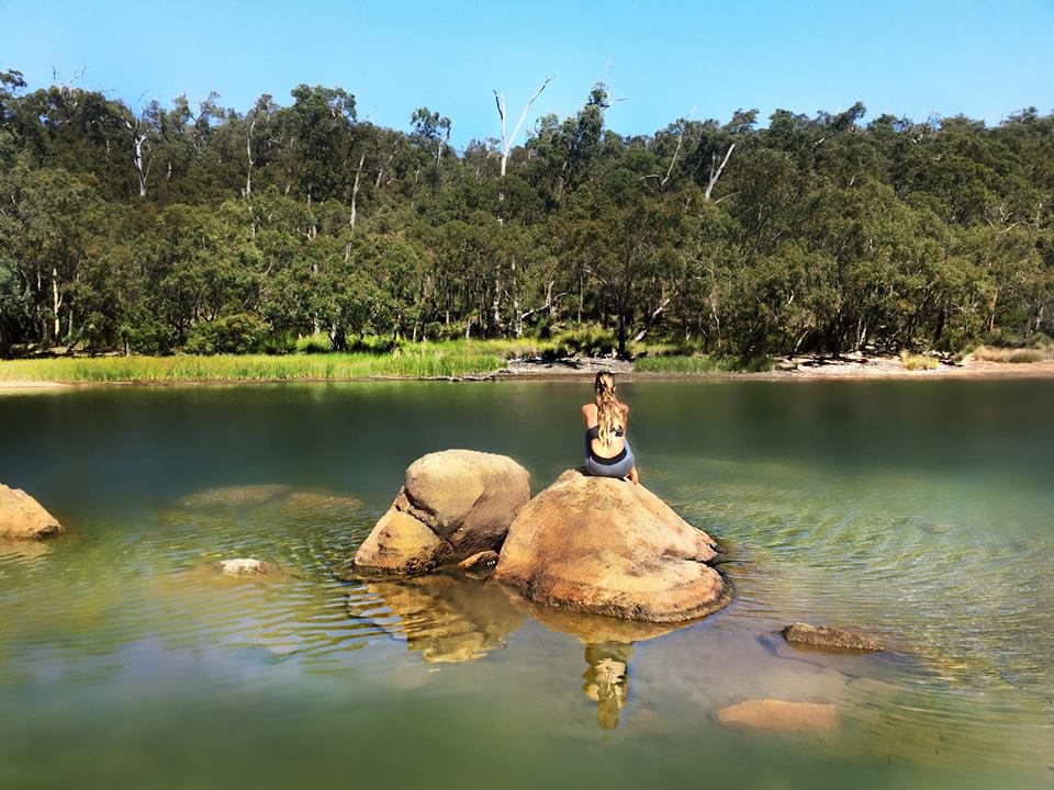
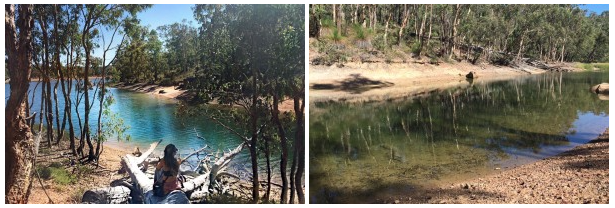
LOCATION: Park Road, (2nd Entrance), Glenbrook Dam
Trail: Easy To Moderate
I’ve only accessed this trail from Park Road. We parked on the side and went through bushland to find it! But the entrance of the carpark is one way you can start of the trail. The Glenbrook Dam is such a cool place to hang out. It reminds me of those American summer camp movies. It’s a peaceful, tranquil space. Although parts are dried up, it means you can cross over the dam. And if you want a weird instagram shot, sitting on a rock in the middle of no where, you can do what I did – just don’t slip on the slimy mud!
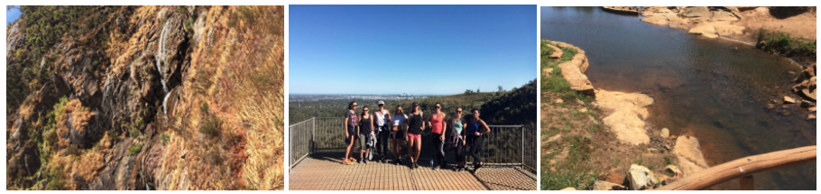
LOCATION: Eagle View Rock
Trail: Moderate To Hard
The Eagle View Walk Trail is a beautiful loop track and will take about 3-5 hours to complete depending on your speed and fitness levels. There are a few inclines but it’s mostly flat. It’s a 13km loop and one I highly recommend doing! I absolutely love how the terrain changes throughout from forest feels to blossoms and more. You’ll come across the Eagle Rock, a popular focal point, where you can see the city in the distance. Keep an eye out. There’s a beautiful spot you can sit for lunch and it’s tucked away, so you can easily miss it. If there’s water running through, it’s a relaxing place to have a short break. Some fruit and water always helps restore my energy levels on a long hike like this.
Bold Park
LOCATION: Zamia and surrounding trails
Trail: Easy
The Zamia trail is a flat trail, among a few other trails here, with views of the city on one side and ocean on the other. There are little lookouts with benches along the way which is perfect for some morning meditation. If you’re an early bird and depending on the weather, you’ll witness diverse sunrises and colours bouncing off the city. There are sections that remind me of Arizona – that desert vibe. It’s the vegetation mostly. The trails are clearly outlined and if you feel like a detour from the Zamia trail, you can explore other trails that lead back to it. You can also take your dog here which is an added bonus!
Kings Park
LOCATION: The nature walk and DNA tower in Kings Park
Trail: Easy
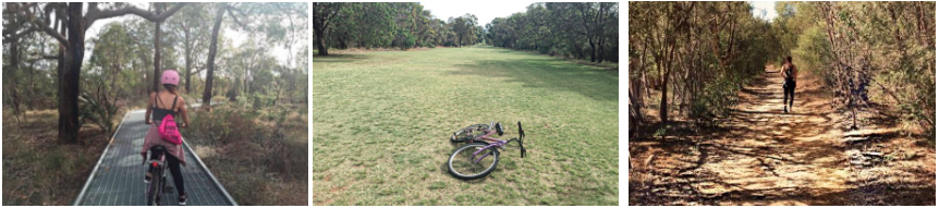
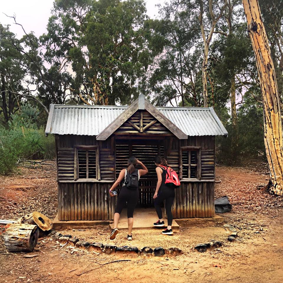
There are different hikes, bike tracks, scenic walks and places to chill with views of Perth city. There are big signs starting from the carpark with information on trails and the names. There are also free guides if you want a tour of the park.
We took our bikes to Kings Park and stumbled across this track – The nature walk path. I never knew these tracks existed in Kings Park. I enjoyed how different it felt riding through the bush on a platform. The sounds of birds and insects as you ride through is heightened. It’s actual incredible. We came out to a big open grassed area near the DNA tower. I decided it would be a good idea to roll all the way down the hill on my bike and then realised I had to ride all the way back up! #legfailure
LOCATION: Kakoda Track & Trails
Trail: Moderate To Hard
The Kakoda track is a climb of 150 stairs (not like Jacobs ladder!) and it has an ancient feel to it. If you start at the top of Kings Park, it leads down to the bottom to Mounts Bay Road. On weekends, there are some serious walkers who go up and down repeatedly. Don’t feel pushed or rushed, just do your thing at your pace.
There are multiple trails within Kings Park and I wonder around without much worry due to there being signage and roads which act as a compass.
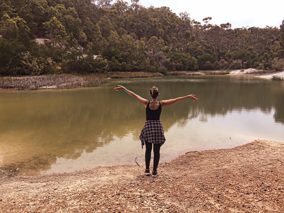
Gooseberry Hill
LOCATION: We parked at the end of Hill Street and headed straight and left.
Trail: Moderate To Hard
The drive is beautiful around Gooseberry hill with lush greenery all around. When you’re used to the burbs, it feels like you’re not even in Perth! The track is a square loop and there was no signage. I was looking for Rocky Pool this particular day but I couldn’t find it. We stumbled across this little water reserve. The view directly behind was breath taking with acres of meadowy trees stretching over the valleys.
Update: 30th May 2019 – The Ledger Road walk at Gooseberry Hill is closed due to pending investigations. Check out City of Kalamunda for more info and to stay up to date with changes.
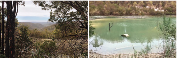
Red Hill
LOCATION: Toodyay Road – Open gravel area for parking. Keep your eyes pealed as there aren’t any signs.
Trail: Moderate to Hard
I have not included images or hikes of the quarries at Red Hill. There was a news report since then that the quarries are private property.
Red Hill is very much bushland with steep uphill hikes and views overlooking the hills. I highly recommend good shoes as it can be slippery on the rocks. The trek has some difficult areas to walk so it’s a great workout. On the second visit, we wandered off track for a while which quickly became heavy bushland with a few sightings of big kangaroos. Whenever I’ve hiked here, I drop in to the fruit and veg on Toodjay road for fresh kale, bananas and any discounted fruit.
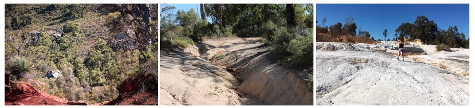
Ellis Brook Reserve
LOCATION: Rushton Road, Martin
Trail: Easy to Hard
If you park at the end of Rushton road in the main car park, you can start the trail here. You can go straight up to the waterfall or cross a bridge to your left. They both lead back to the start. Although it’s a loop you can also wander off track a few times for cool sightings like the water reserve. There’s something majestic about feeling tiny against nature and here, you get a taste of it. The trail also passes by the top of the waterfall. On a winter evening, the water was flowing turquoise and the city skyline looked like Gotham city. It’s definitely worth revisiting this place at different times of the day.
Lesmurdie Falls
LOCATION:
Trail: Easy To Moderate
I’ve hiked Lesmurdie too many times to count and most trails I’ve discovered randomly. It’s one of those places you can explore multiple tracks and see different vegetation. You can park at the top of Lesmurdie or at the bottom. I always start from the bottom as I find it easier to get too. We’ve counted roughly 150 steps to get to the top of the waterfall and it’s usually a busy trail.
There are two look-out points at the top of the waterfall and in the distance you can see Perth city. There’s a few options from this point. You can continue straight up, walking alongside the gully which leads to a little bridge and water pool. Or you can head to the left across a small bridge, which takes you to the other side of the waterfall. There are a few trails from here and it’s not all clearly marked. But having done most of them, I always find myself back at the bottom where I parked.
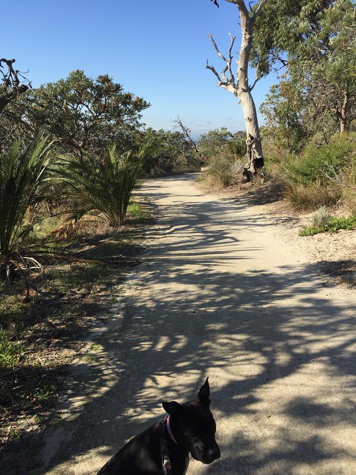
Whistlepipe Gully Kalamunda
LOCATION: Lewis Road, Forrestfield
Trail: Easy To Moderate
If you park at Lewis Road, there are two track entrances. You can head straight onto Whistle Pipe Gully. This place has filled me so much joy on various occasions. At the opposite end, the vines, lush green and creeks below have that magical forest feel. There’s little pockets where you can go down to the creek and relax watching the water flow through. I’ve spent hours here taking photos as there are many beautiful elements to capture. It’s the perfect place to refuel your soul and rejuvenate your creative senses.
The other track is located to the left of the car park and it’s very steep climb. It’s a great challenge and the reward? Open views of nature, farms and the city.
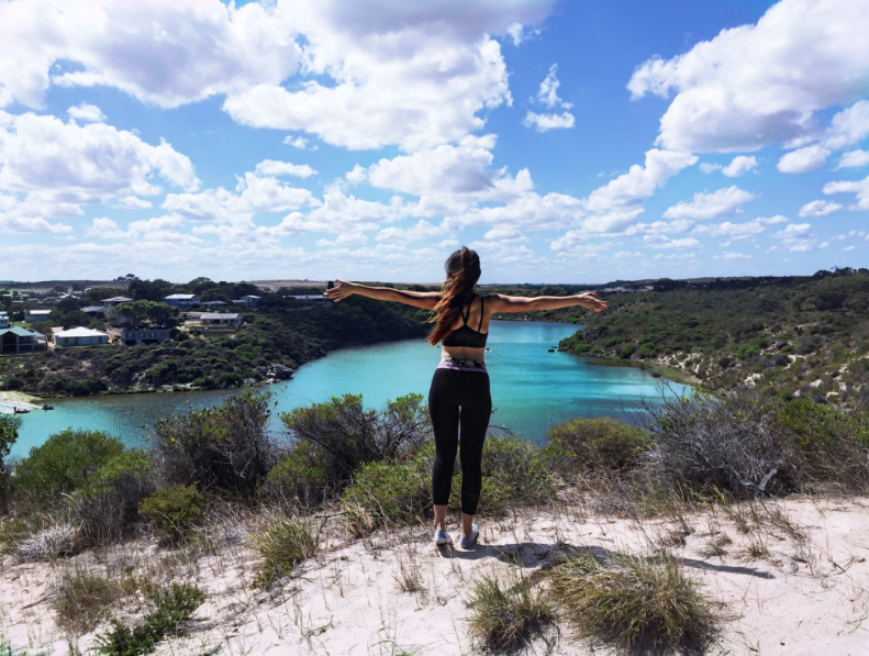
Moore River
LOCATION: Edwards Street, Moore River
Trail: Easy to Moderate
If you are looking for somewhere to do a day trip, Moore River is beautiful. It’s all about nature and whether you feel like canoeing, hiking or swimming in the ocean or river it’s got something for everyone. For the hikers and view-seekers, if you head over the bridge to the beach and go left, you will find a track in the dunes. The white sandy trail leads to high up views of Moore River. It’s magnificent! You can then continue along in bushland. It wasn’t a massive hike but it’s definitely a great walk. I do recommend taking your own food or snacks. As a vegetarian, my only option was a vegetarian burger (which was delish by the way) but there wasn’t much to choose from for a day out.
Was this helpful? Give it a Facebook thumbs up below and share it with your friends.
2 Comments